Flood Detection, Prediction & Mitigation Services
We provide scientific flood modeling and practical mitigation strategies at city and site levels. Protect your assets and communities effectively.
Secure Your Flood Mitigation Plan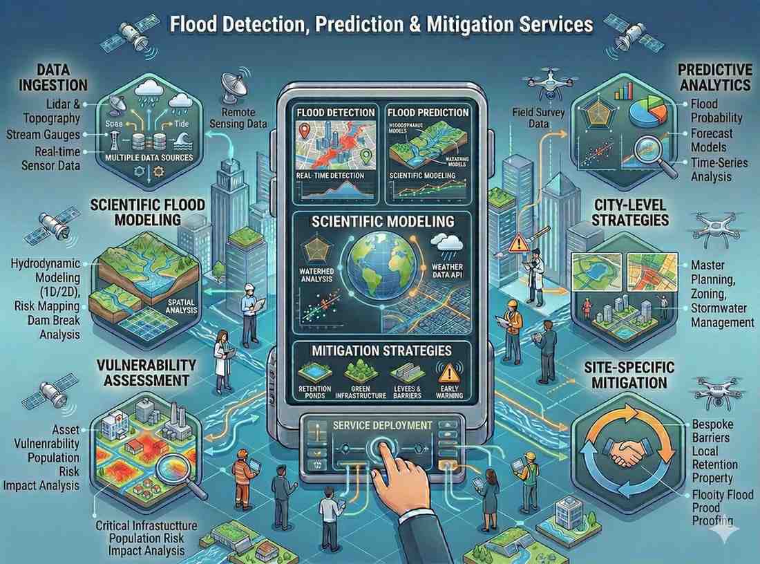
We provide scientific flood modeling and practical mitigation strategies at city and site levels. Protect your assets and communities effectively.
Secure Your Flood Mitigation PlanOur Flood Detection, Prediction & Mitigation Services offer comprehensive scientific modeling combined with practical strategies to manage flood risks. We provide detailed analysis for both urban and riverine environments, helping you build resilience.
Why this service stands out
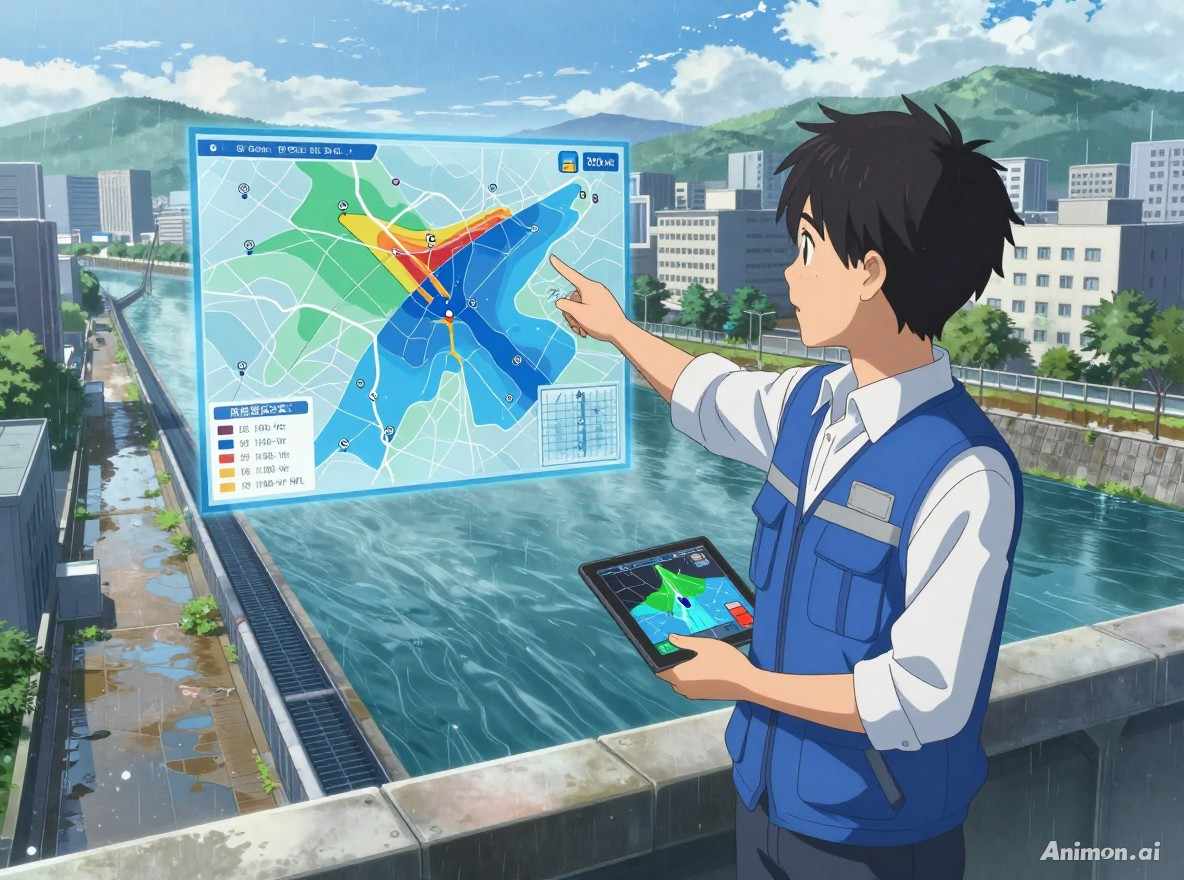
Protect lives and property with accurate flood predictions and mitigation plans.
Minimize economic losses through proactive flood risk assessment and planning.
Design resilient infrastructure based on precise HFL estimations.
Efficiently integrate flood data into urban development and land-use planning.
Improve drainage and understand groundwater potential for long-term sustainability.
Meet environmental and safety regulations with robust flood studies and reports.
What makes this service stand out
Identification of flood-prone areas and assessment of potential impacts on infrastructure and populations.
Accurate calculation of maximum flood levels for different return periods to inform planning and design.
Advanced hydraulic and hydrological modeling to simulate flood scenarios in urban settings and river systems.
Development of comprehensive flood mitigation strategies for entire cities, enhancing urban resilience.
Expert planning and design support for optimizing drainage systems and storm water management.
Identification of borewell locations and mapping groundwater potential, supporting integrated water management.
How we deliver results
Gather topographic, rainfall, and historical flood data for model input.
Build and calibrate urban and riverine flood models to simulate various scenarios.
Perform flood hazard/risk mapping, estimate HFL, and propose mitigation strategies.
Deliver detailed reports, maps, and provide expert advisory on implementation.