GeoAI Services
Leveraging Artificial Intelligence and Machine Learning with geospatial data to deliver automated insights and large-scale analysis for diverse applications.
Discover GeoAI Solutions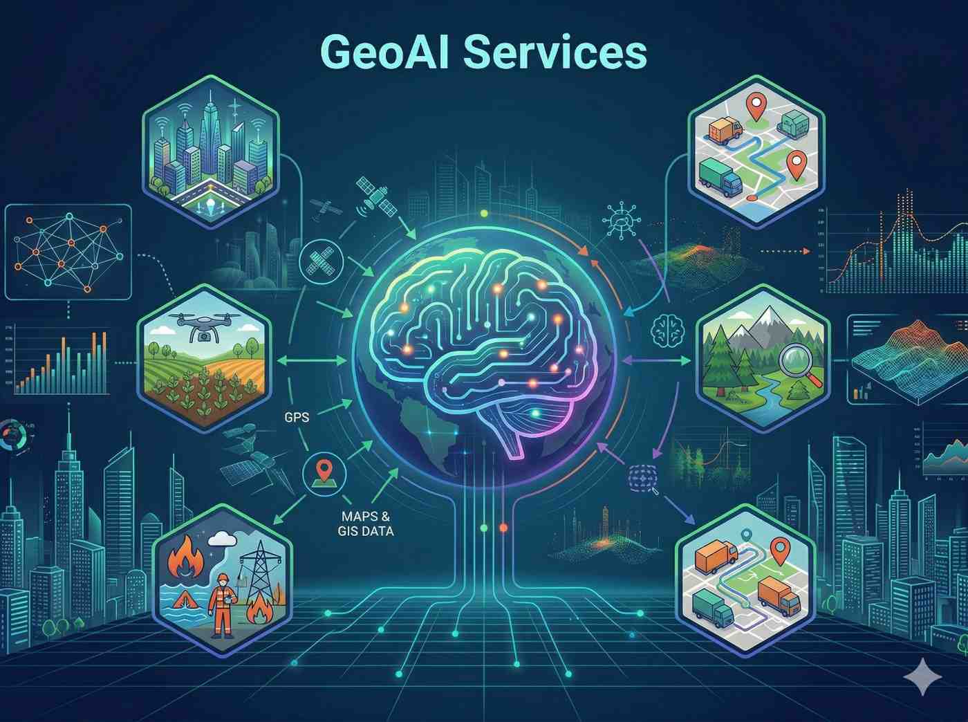
Leveraging Artificial Intelligence and Machine Learning with geospatial data to deliver automated insights and large-scale analysis for diverse applications.
Discover GeoAI SolutionsOur GeoAI Services harness the power of AI to extract automated insights from geospatial data, enabling large-scale analysis and predictive modeling. This transforms raw data into actionable intelligence across various sectors.
Why this service stands out
Rapidly process large datasets to gain insights faster than manual methods.
Reduce human error through AI algorithms for precise detection and analysis.
Automate routine tasks, saving significant time and operational costs.
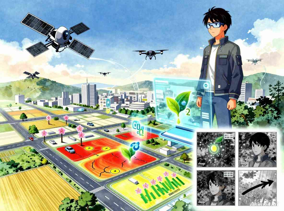
Detect issues like encroachment or road damage early for timely intervention.
Perform analysis on vast geographical areas without increasing manual effort.
Optimize crop management and planning with predictive yield analysis.
What makes this service stand out
Utilize AI to accurately detect and count trees for urban planning or vehicles for traffic analysis.
Automated identification of unauthorized land use changes using advanced geospatial AI algorithms.
AI-powered detection of cracks and potholes in roads, enabling proactive maintenance and infrastructure management.
Advanced analysis to estimate and monitor carbon dioxide emissions, supporting environmental sustainability efforts.
Leverage machine learning for accurate crop yield forecasting, optimizing agricultural planning and resource allocation.
Identify and track spatial changes over time using satellite and drone imagery with AI-driven analysis.
How we deliver results
Gather and prepare geospatial data (satellite, drone, field) for AI model training.
Design and train custom AI/ML models tailored to your specific detection or prediction needs.
Run trained AI models on large-scale geospatial datasets to generate insights.
Deliver actionable reports, maps, and integrate GeoAI outputs into your existing platforms.