GIS Training & Capacity Building
We conduct professional GIS education and training programs. Enhance your team's skills in GIS, Remote Sensing, GeoAI, and Web GIS with our customized courses.
Enroll in Our GIS Training Programs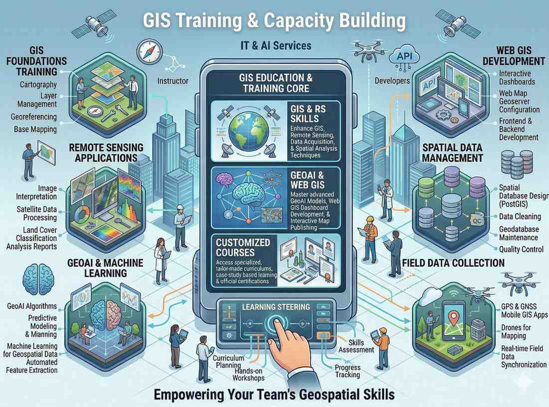
We conduct professional GIS education and training programs. Enhance your team's skills in GIS, Remote Sensing, GeoAI, and Web GIS with our customized courses.
Enroll in Our GIS Training ProgramsOur GIS Training & Capacity Building programs are designed to equip individuals and organizations with essential skills in geospatial technologies. We offer a range of professional courses tailored for academic, corporate, and governmental needs, fostering expertise in this rapidly evolving field.

Why this service stands out
Equip your team with cutting-edge GIS, Remote Sensing, and AI proficiencies.
Skilled personnel lead to more efficient and accurate project execution.
Learn to effectively manage and extract insights from complex geospatial data.
Provide valuable professional development opportunities for individual growth.
Empower decision-makers with a deeper understanding of spatial intelligence.
Training programs tailored to your organization's specific needs and objectives.
What makes this service stand out
Courses covering the basics and advanced concepts of Geographic Information Systems and Remote Sensing techniques.
Programs focused on integrating Artificial Intelligence and Machine Learning with geospatial data for advanced analysis.
Training in developing and managing interactive web-based GIS applications and spatial dashboards.
Tailored courses designed to meet the specific geospatial training needs of various industries and sectors.
Conducting specialized GIS and GeoAI training programs in colleges and universities to enhance student skills.
Emphasis on hands-on practical exercises and real-world projects to ensure effective skill transfer and application.
How we deliver results
Identify training gaps and design a customized curriculum aligning with your objectives.
Create comprehensive training modules, exercises, and course materials.
Conduct engaging, hands-on training sessions with practical examples and expert instructors.
Assess participant learning and provide recognized certification upon successful completion.