IoT – GIS Integration Services
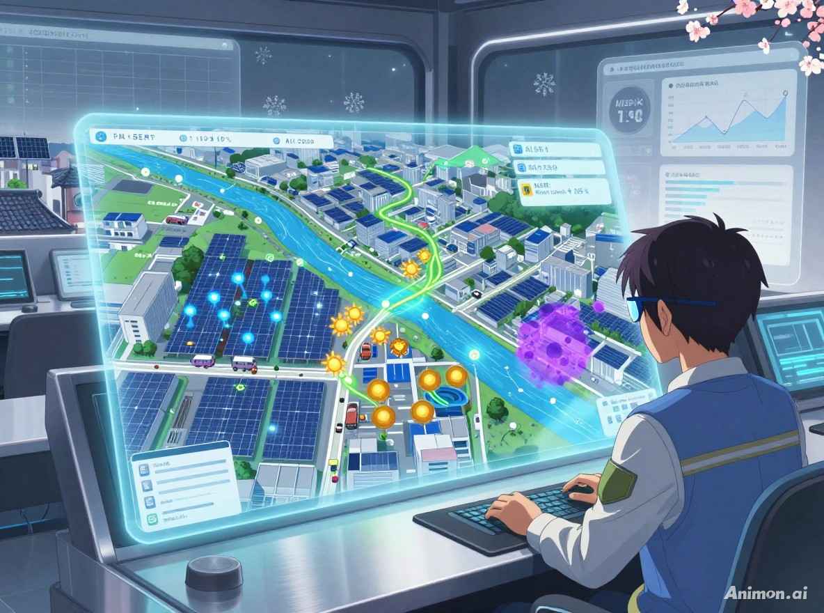
We integrate real-time IoT sensor data with GIS platforms to create live, location-based monitoring systems. Gain critical insights from your connected assets.
Integrate Your IoT with GIS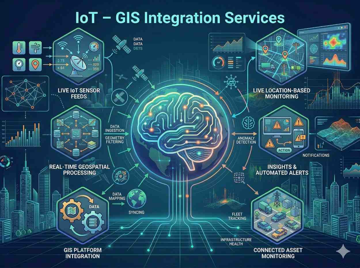
We integrate real-time IoT sensor data with GIS platforms to create live, location-based monitoring systems. Gain critical insights from your connected assets.
Integrate Your IoT with GISOur IoT – GIS Integration Services connect the physical and digital worlds by merging real-time sensor data with powerful GIS platforms. This creates dynamic, location-based monitoring systems that deliver immediate actionable insights.
Why this service stands out
Monitor critical assets and environmental factors with live, location-based data.
Receive immediate alerts for anomalies, enabling quick and effective action.
Improve efficiency in energy, water, and asset management with precise data.
Access comprehensive insights through interactive dashboards for strategic planning.
Analyze historical trends to anticipate equipment failures and schedule maintenance.
Continuous monitoring helps meet regulatory standards for air and water quality.
What makes this service stand out
Integrate IoT sensors to monitor solar panel performance and energy output in real-time on a GIS platform.
Live tracking of water levels and flow rates in reservoirs, rivers, or pipelines for efficient water management.
Seamlessly integrate GPS data for real-time tracking of vehicles, assets, or field personnel on interactive maps.
Connect various data loggers to collect and visualize environmental or operational data within a GIS environment.
Real-time monitoring of sewage and wastewater parameters to prevent overflows and ensure compliance.
Visualize air quality sensor data on dynamic GIS dashboards for immediate environmental insights and alerts.
How we deliver results
Define monitoring objectives, sensor types, and overall system architecture.
Connect IoT sensors to data gateways and integrate data streams into our platform.
Build a custom GIS environment to visualize, analyze, and manage real-time IoT data.
Develop interactive dashboards and configure location-based alerts for immediate insights.