Web GIS & Spatial Dashboards
We develop dynamic, real-time, and interactive GIS dashboards for multiple use cases. Enhance your decision-making with powerful visual analytics.
Build Your Interactive GIS Portal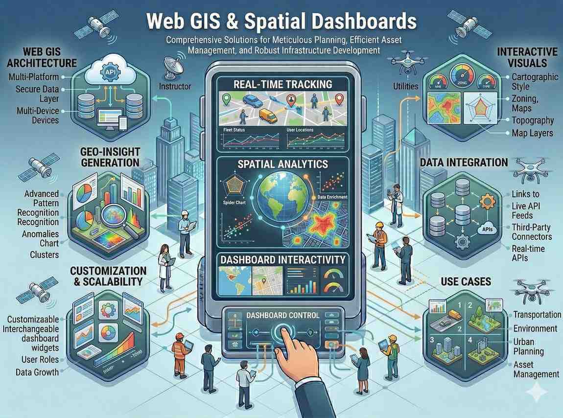
We develop dynamic, real-time, and interactive GIS dashboards for multiple use cases. Enhance your decision-making with powerful visual analytics.
Build Your Interactive GIS PortalOur Web GIS & Spatial Dashboards services deliver intuitive and powerful online platforms for geospatial data visualization and analysis. We create custom interactive interfaces for a wide range of applications, enhancing decision-making and operational efficiency.

Why this service stands out
Access geospatial data and tools from anywhere with internet connectivity.
Share and collaborate on spatial data and insights with internal and external stakeholders.
Monitor dynamic events like rainfall or asset status with live data updates.
Automate data collection and analysis workflows, reducing manual effort.
Utilize interactive dashboards to make informed and strategic decisions.
Empower field teams with mobile GIS apps for efficient data capture and verification.
What makes this service stand out
Develop custom, user-friendly web interfaces for seamless interaction with geospatial data and functionalities.
Create dynamic dashboards for monitoring and analyzing rainfall patterns, aiding flood prediction and water management.
Develop specialized applications to monitor soil moisture, vegetation health, and other surface balance indicators.
Design and deploy comprehensive GIS portals accessible via web browsers for centralized planning and monitoring tasks.
Create intuitive mobile applications for efficient GPS-based data collection, asset verification, and field inspections.
Tailored visualizations of complex spatial data using charts, graphs, and interactive maps for clearer insights.
How we deliver results
Understand your needs, define functionalities, and design intuitive user interfaces.
Build robust backend infrastructure and integrate with your spatial databases.
Develop interactive web maps, charts, and spatial dashboards with advanced features.
Rigorously test the platform, deploy it, and provide training for your team.